
Report · Palestine
Trump’s Map for Israeli Apartheid in Detail
by Stop the Wall · 2020
About the report
The maps attached to the Trump administration’s 2020 plan were too vague to show its real impact. Stop the Wall worked with Jan de Jong, an expert on the geopolitics of Palestine, to produce a detailed map of what the planned annexation would mean on the ground, with a written commentary.
The commentary argues that the plan negates Palestinian statehood and instead consolidates segregated reserves and ghettos, echoing South Africa’s bantustans. Gaza would stay isolated and annexing the E1 area east of Jerusalem would cut the northern West Bank off from the south.
It also shows how the proposed annexation boundaries overlap with the path of the Wall, which the International Court of Justice warned could amount to de facto annexation.
Read the report? Take the next step.
Join a Palestine solidarity group near you, travel with a delegation to Palestine, or become part of Solidarity Rising.
More reports on Palestine

Related resources
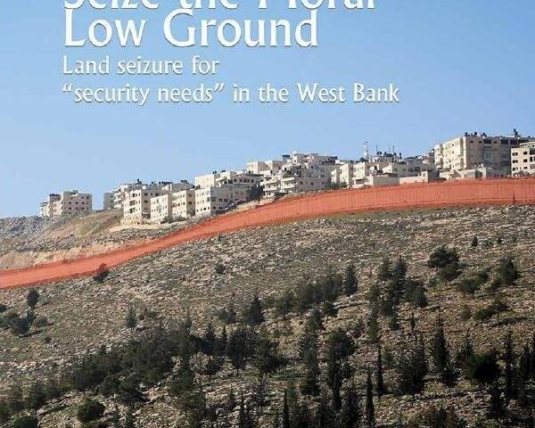
Seize the Moral Low Ground: Land Seizure for “Security Needs” in the West Bank
Kerem Navot shows how Israel used military seizure orders for 'security needs'…
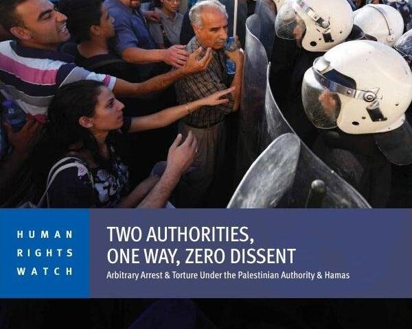
Two Authorities, One Way, Zero Dissent: Arbitrary Arrest and Torture Under the Palestinian Authority and Hamas
Human Rights Watch documents how the PA and Hamas arrest Palestinians for…

Bed and Breakfast on Stolen Land: Tourist Rental Listings in West Bank Settlements
Human Rights Watch and Kerem Navot show how Airbnb and Booking.com profit from…