Related resources
The Western Sahara Dispute: A Cautionary Tale for Peacebuilders
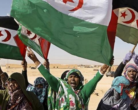
The UN and MINURSO have succeeded neither inconducting a referendum nor in…
Western Sahara as a Hybrid of a Parastate and a State-in-Exile: (Extra)territoriality and the Small Print of Sovereignty in a Context of Frozen Conflict
Within the liminal universe of parastates, what makes Western Sahara/SADR…
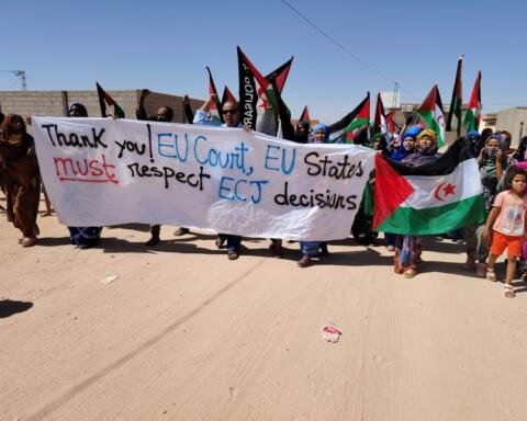
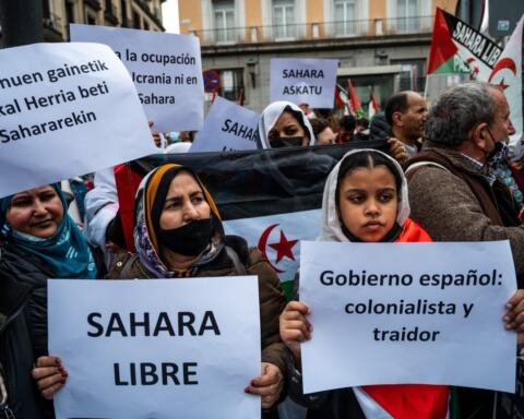
The Front Polisario Verdict and the Gap Between the EU’s Trade Treatment of Western Sahara and Its Treatment of the Occupied Palestinian Territories
Morocco’s control over Western Sahara and Israel’s control of the West Bank…